 |
| Map of Fort St.George in 1781 (As Documented by Col.DM Reid) |
 |
| Madras in 1755. "A Plan of Fort St. George and The Bounds of Madraspatnam" by F. L. Conradi. |
At the Fort Museum, one can see maps and illustrations which documents the evolution of the fort and settlement over the centuries. Col. D.M.Reid (Douglas Muir Reid) prepared drawings of the fort with Madras volunteers. These drawings describe the evolution of this fort. He has also written a book title: 'The Story of Fort St. George.'
 |
| Hyder Ali (1722-1782) |
1767 -- Hyder Ali (1722-1782), ruler of Mysore (then princely state now part of Karnataka State), was becoming powerful during this period. The Mysore ruler made an expedition to Madras neighbourhood places and even burnt several villages. The army of Hyder Ali plundered San Thome (Madras suburb).
1769 -- Hyder Ali invaded Madras again with a formidable cavalry force. He even used the cemetery slabs (at present High Court complex) as an anchor to his artillery. Hyder Ali's raids left the Britishers into a state of panic.
 |
| Madras (Grand) Arsenal |
1772 -- The Grand Arsenal (aka. Madras Arsenal) constructed within the Fort and the Armenian Church built on the site of the old cemetery.
1772 - 1773 -- In view of the continuous threats, the Britishers demolished the the remaining parts of Old Black Town that was destroyed by the French in 1746-49 and erected 6 km (3 1/2 miles) long permanent
walls to strengthen and safeguard the New Black Town (areas included
Muthialpettah and Peddunaickenpettah) and was known as Black Town Wall.
The rampart walls equipped with 17 bastions and flanking works at
intervals ran across the northern borders (up to Tondiarpettah) and the
western borders of the modern George Town.
The New Black Town walls had number of gates and few such names of the
gates include Pully Gate, Boatmen's Gate, Trivatore Gate, Ennore Gate,
Chuckler's Gate and Hospital Gate and the Elephant Gate exists even
today.
 |
| Madi Poonga Ibrahim St, North Chennai |
A small landscaped park called Madi Poonga (hanging garden) now occupies a portion of this protected wall.
Esplanade was developed after clearing for a width of 600 yards from the
western outer wall and this afforded as the field of fire. The old Town Temple was also demolished for security reasons.
Wall Tax Road (now bears the name V O C Salai), near
Central Railway Station found running parallel to railway tracks and
flanks George Town on the western side, reminds us the walled New Black
Town.
The work was carried out by Paul Benfield (1742–1810), an English East India Company employee and trader, financier and contractor, who designed and constructed, Chepauk Palace - the first red brick building in Madras in an architectural style later known as Indo-Saracenic.The work was completed in 1773.
Why the road got the peculiar name Wall Tax Road? The entire cost for the construction of Wall was met by means of a 'Tax' which was imposed on the house-holders nearby. The Madras British government appointed the Collector of Town Wall Tax for tax collection purposes.
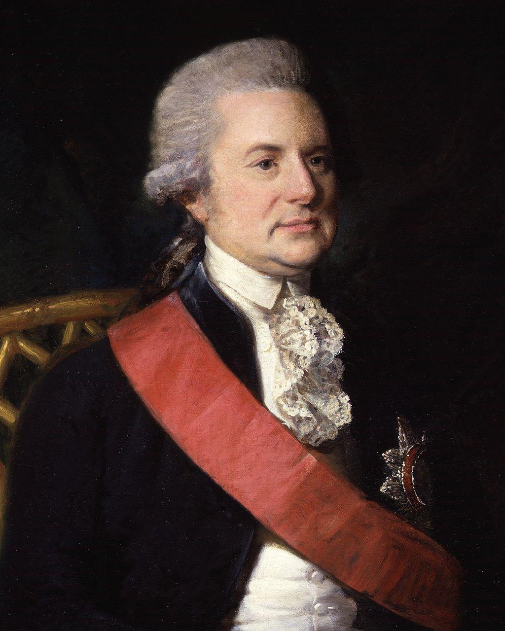 |
| George Macartney, 1st Earl Macartney, KB |
1781 -- George Macartney, 1st Earl Macartney, KB was nominated as the Governor of Madras (Serving period: 22 June 1781 to 14 June 1785). After the siege of Fort St.George by Comte de Lally, the Governor of Madras initiated steps for renovation and strengthening of the walls of Fort St. George and the job was completed in 1783.
1783 -- The outer walls were totally
rebuilt with ample out-works, glacis, reveling and lunettes. and the
job was completed in 1783.
Reference
The Beginnings of Madras. The Chennai Corporation (Website)
No comments:
Post a Comment